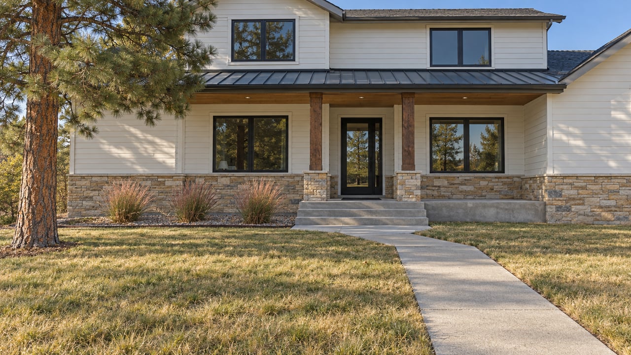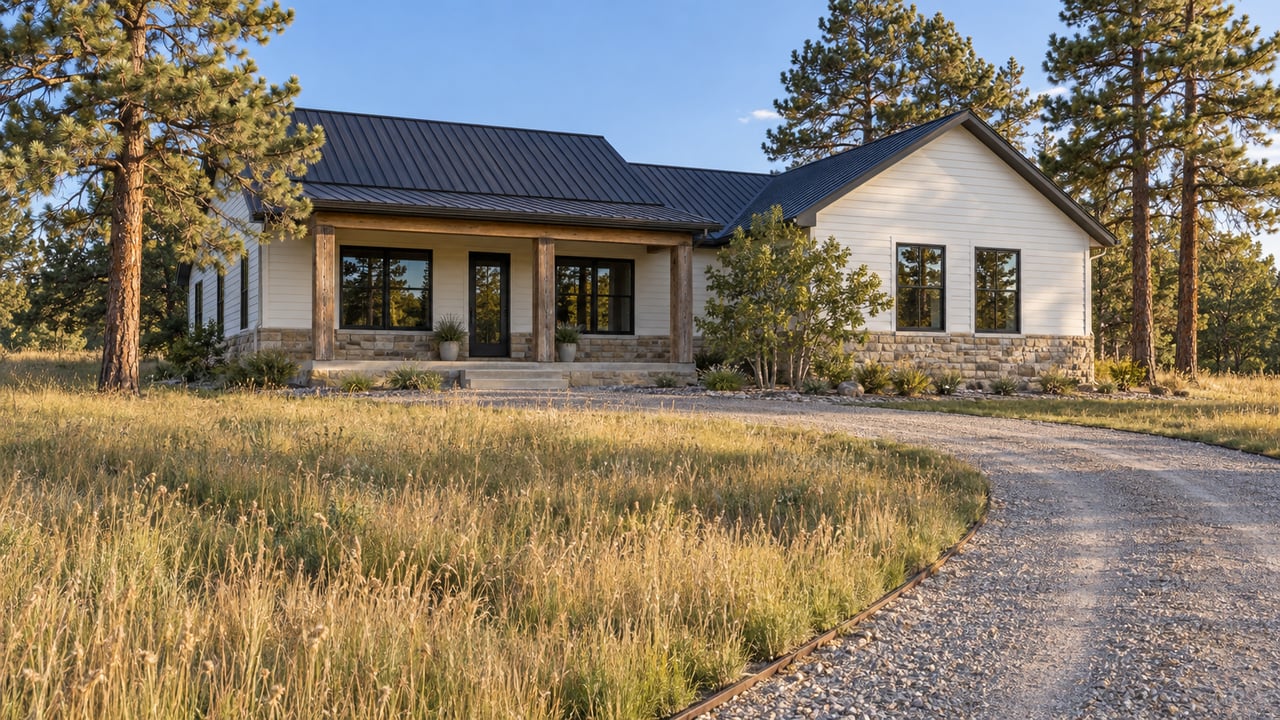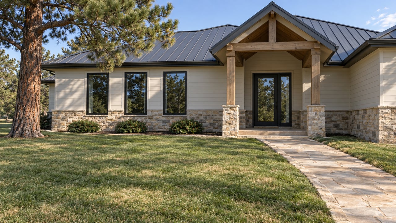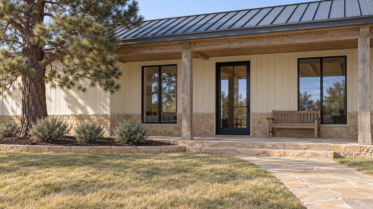
Castle Rock's Parks and Recreation Department has finished Rustler's Ridge Loop, which completes the trail system at Lost Canyon Ranch Open Space at about 15 miles, according to The Gazette. The new loop starts at Creekside Trailhead, and Creekside has 19 parking spaces. The other lot, Cattleman's, has 125. Starting Nov. 1, the gate opens at 7 a.m. and closes at 5:30 p.m.
So this fall, Lost Canyon works differently than it did in July. The newest miles sit at the smaller lot, and the open day is about to get shorter. Your choice of trailhead now does most of the work of shaping your hike.
What finished, and what the mileage figures mean
About 10 miles of trail opened when the gate lifted on July 13. The Town said then that another 5 miles would be built through the fall. Rustler's Ridge is that last piece. The Gazette says it "roam[s] the secluded southeast corner of the open space" from Creekside Trailhead.
Before you lace up, compare two distance figures. The Gazette maps Rustler's Ridge at about 4.5 miles. The Town distance table that DougCo Social reproduces lists the loop at 2.2 miles, with roughly 177 feet of climbing. Neither source explains the difference, so plan your time around the longer figure.
A similar gap shows up in acreage. The Town's July opening release says 681 acres. The Town's September 2026 trail map says 716. Either way, it's the largest one-time open space purchase in town history. It brought Castle Rock's preserved open space to more than 6,900 acres, about one-third of the town's land.
The Town's FAQ page still describes some loops as under construction. The September map, which lists the current trail length as 15 miles, is the more recent document.
Two lots, two different hikes
Lost Canyon is a set of color-coded loops joined by shorter connectors, and the two trailheads lead to different parts of it. Here's how the trails split, with the Town's distances and difficulty ratings as DougCo Social reports them:
| Trail | Closest trailhead | Distance | Town rating |
|---|---|---|---|
| Willow Creek Path | Creekside | 0.6 mi | Easy |
| Turkey Track Loop | Creekside | 0.6 mi | Moderate |
| Gobbler's Pass | Creekside | 1.1 mi | Moderate |
| Big Bear Hollow | Creekside | 1.7 mi one way | Difficult |
| Rustler's Ridge Loop | Creekside | 2.2 mi | Not posted |
| Pronghorn Path | Cattleman's | 0.6 mi | Easy |
| Echoes of Ancestors | Cattleman's | 0.8 mi | Moderate |
| Lost Moccasin | Cattleman's | 0.8 mi | Difficult |
| Bootlegger's Loop | Both ends | 2.6 mi | Difficult |
Golden Eagle Loop, 1.8 miles, sits on the high ground. DougCo Social reaches it with a climb up from Creekside.
The Creekside side of the table holds the newest loop and the property's best-known view. The Overlook is on Big Bear Hollow, a dead-end spur, so the 1.7 miles roughly doubles once you walk back. DougCo Social says Creekside's 19 spaces "are going to be nothing on a weekend morning or evening." The Town permits limited roadside parking near Creekside only where signs allow it.
Bootlegger's Loop connects the two sides. It's the longest single trail at 2.6 miles, with about 300 feet of total climbing, rock steps and a steep finish. If Creekside is full, you can park at Cattleman's, take Bootlegger's down and pick up the Creekside trails from its lower end. It's longer, but it avoids circling a 19-space lot.
The climb to the loops is the hard part
The map says most loops are moderate to difficult because of "elevation changes, uneven terrain, narrow passages, overhangs, cliff edges and rock steps." DougCo Social adds that several loops don't start at either lot, and you reach them by connector trails. The connector to Turkey Track gains about 82 feet in a quarter mile. The one to Gobbler's Pass gains about 112 feet in 0.4 mile. The high ground around Golden Eagle and the Overlook sits about 170 feet above the lot.
This affects winter planning more than mileage does. The Town's toughest suggested route runs about 5.5 miles: Creekside, Gobbler's Pass, Golden Eagle, Big Bear Hollow, the Lost Moccasin stairs, then back along Bootlegger's. That's an easy fit before an 8 p.m. close. Starting Nov. 1, you'll be racing the 5:30 p.m. gate. The two level options are Willow Creek Path from Creekside and Pronghorn Path from Cattleman's. Both are surfaced with crusher fines and are the most accessible trails on the property.
The gate schedule, season by season
Unless signs say otherwise, these are the Town's posted hours:
- Summer, May 1 to Aug. 31: 5:30 a.m. to 9 p.m., or 15.5 hours
- Fall, Sept. 1 to Oct. 31: 6:30 a.m. to 8 p.m., or 13.5 hours
- Winter, Nov. 1 to Feb. 28: 7 a.m. to 5:30 p.m., or 10.5 hours
The change on Nov. 1 removes three hours. The gate opens 30 minutes later and closes 2.5 hours earlier. The Town says entering before opening or staying after closing is prohibited unless the Town authorizes it. That leaves the rest of October as the last stretch this year for an after-work hike on Rustler's Ridge.
The back door from Castlewood Canyon
Echoes of Ancestors, which starts at Cattleman's, links to Castlewood Canyon State Park's Wildcat Canyon Trail. State park staff built that trail along the park's western boundary for this connection. DougCo Social suggests it as a way in when both lots are full, because Castlewood has much more parking.
You'll need a Colorado State Parks pass or a day pass for the Castlewood side, however you arrive. Colorado Parks and Wildlife's pass page lists a $4 individual daily pass for entering without a vehicle. Check the current price before you go. The rules also change at the property line. Castlewood allows leashed dogs, biking and rock climbing. Lost Canyon prohibits pets and climbing and allows bikes only on its interior roads.
Why the dog stays home
Lost Canyon is hiking only. Pets and horses aren't allowed, and bikes may use the interior roads but not the trails. Drones, camping, fires, fishing and hunting are also prohibited. Douglas Land Conservancy holds the property's conservation easement. Its goals include protecting wildlife habitat and preserving historical artifacts.
When Town Council approved the master plan, it also approved an $859,965 trail construction contract. At that meeting, The Gazette reported, Parks Director Jeff Brauer was asked about allowing bikes and pets later. "It is something we will stay open to," he said, adding that the Town has "invested heavily in some other areas where people can take their canine companions and their bikes." The Gazette says he was pointing to places like Philip S. Miller Park and Ridgeline Open Space. If you walk the dog in Castle Rock, those two places still serve that purpose. Lost Canyon is set up for a different kind of outing.
Wildlife there includes golden eagles, wild turkeys and black bears. The map also warns about mountain lions and rattlesnakes, and notes that cell service is limited across the property. Some trail names come from those animals: Gobbler's Pass, Golden Eagle Loop, Big Bear Hollow and Pronghorn Path.
Both trailheads were ranch sites
Both trailheads sit on the old working ranch's footprint. North of Cattleman's Trailhead is a feed barn built in 1969 for cattle and horse grazing. A caretaker's modular home placed at Creekside in 1974 was removed before opening because it had fallen into disrepair. The ranch house, built in 1976, stands near the eastern part of the property, along with stables and riding arenas. All of the buildings are closed to the public, and the Town is still deciding what to do with them.
The trail names carry the history too. The Gazette notes that Cattleman's recalls "generations of private activity," Rustler's Ridge and Bootlegger's draw on a Wild West past, and Echoes of Ancestors and Lost Moccasin refer to thousands of years of earlier human presence. The Conservation Fund sold the land to the Town in May 2024, along with its groundwater rights, for a total cost of about $15 million. A $3 million Great Outdoors Colorado grant in 2023 helped fund the purchase, the largest single grant in Town history.
The entrance is at 6581 Lost Canyon Ranch Road. The Town asks visitors to drive slowly through the neighborhood on the way in and to stay out of nearby neighborhoods when parking. Check CRgov.com/TrailConditions before a snowy or muddy morning.
I grew up on a working cattle ranch, so seeing a 1969 feed barn standing next to a public parking lot says a lot to me about how land like this changes hands. Conservation easements, groundwater rights and the old ranch buildings come up in my work with Douglas County acreage all the time. If you'd like to talk about how those pieces fit together on a property you're considering, Jena Vail is happy to walk through it with you. Let's Connect.