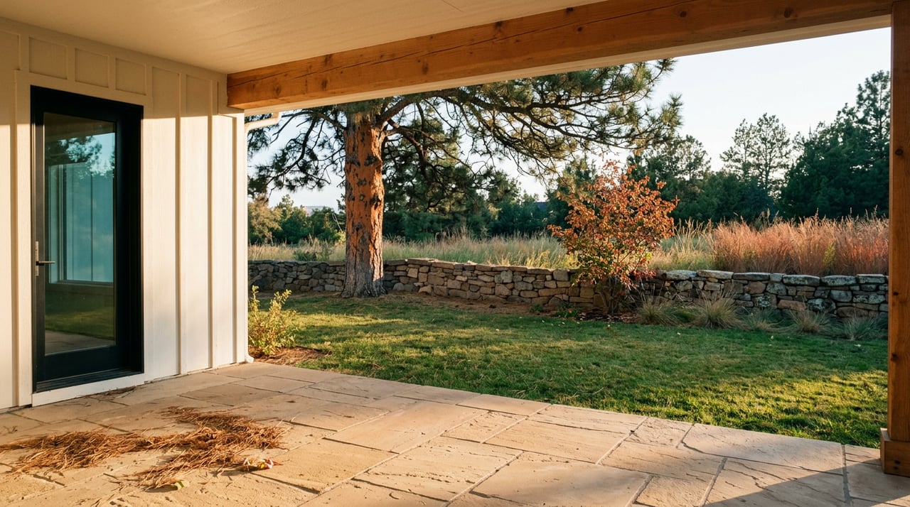
Most people who live in the Pinery know their walk by feel rather than by mile marker. Out the driveway, down toward Bingham Lake, past the tennis courts, home before the light goes flat over the golf course. It is a route more than a distance, and until this year it mostly stayed the same shape it has held since the loop trail was dedicated back in 2011.
That shape changed this year, and the change is worth understanding before you plan your next fall walk.
What actually got built
Douglas County finished a new 4-mile soft-surface trail through Bayou Gulch Open Space, and it is open to the public now. Parking sits at Bayou Gulch Regional Park, 4815 Fox Sparrow Road, and the connection runs along the west side of the park before crossing Bayou Gulch Road at a signal-activated crosswalk built specifically to stop traffic for trail users. That crosswalk detail matters more than it sounds like it should. It means the county built this as a real connector, not a dead-end amenity tacked onto a park boundary.
The new mileage is soft surface, which means it reads differently underfoot than the paved 4-mile Pinery Loop Trail most residents already know. That paved loop connects Bingham Lake, Lakeshore Park, Pinery Park, and the Cherry Creek Regional Trail, and it has done that job since Douglas County dedicated it in 2011. The new Bayou Gulch segment does not replace that loop. It extends what you can reach without doubling back on pavement you already covered.
Layer in the Kinney Creek Trail, which runs through Colorado Golf Club property on the northwest side of North Pinery Parkway, and you get three separate trail identities that now link into one connected system rather than three errands. The peripheral trail around Bayou Gulch closes occasionally for Colorado Horse Park events, but the connector segment stays open at all times, which is the piece that makes the whole network reliable rather than seasonal.
If you have been walking the same out-and-back for years because the paved loop felt like the whole picture, it was not the whole picture anymore as of this year.
The deer at the entrance are not new, but the timing is
Longtime residents have flagged something on the neighborhood Nextdoor thread that is worth repeating here because fall is exactly when it starts to matter. The HOA planted crabapple trees in the median at the Pinery entrance, and those trees draw deer close to the road. One neighbor's post this year noted the irony directly: plantings meant to look good at the entrance have become a feeding stop for the same wildlife everyone loves seeing from a distance.
Fall raises the stakes on that pattern. Mule deer activity increases heading into rut season, and bucks that are calm in July get considerably less predictable in October and November. None of this is a reason to avoid the trails. It is a reason to give deer near the entrance more room than you might in spring, and to keep dogs leashed through that stretch even if your dog has never so much as glanced at a rabbit before.
The wildlife here is not an abstraction. Pinery Pointe residents regularly report deer, coyote, antelope, and wild turkey on their own property, and the open space around Bayou Gulch has always functioned as a corridor rather than a boundary. The new trail runs through more of that corridor, not around it.
One restriction worth knowing before you plan a trailhead cookout
Douglas County has a Stage 1 fire restriction in place for unincorporated areas as of August 20, 2026. That covers the Bayou Gulch Open Space and its surrounding parkland, which means anyone picturing a trailhead cookout or a portable fire pit near the new connector should check current status before packing the cooler. Restrictions like this move with fire danger and get lifted or tightened through the fall, so a quick look at the county's page before you go is worth the thirty seconds it takes.
This is not a dramatic warning. It is the kind of detail that saves a trip when you show up expecting to grill and find out you cannot.
History under your feet on the Pinery Pointe side
If your walk takes you through Pinery Pointe rather than straight out to Bayou Gulch, you are covering ground with an actual event buried in it. The original Castlewood Dam gave way in 1933, and the flood that followed carved through what is now the Pinery Pointe trail corridor. The remains of a homestead swept up in that flood are still visible along the route today, which turns a familiar loop into something closer to a walk through a specific piece of Colorado water history rather than a generic path through open space.
That kind of detail rarely shows up on a trail map. It shows up when someone who has lived here long enough tells you what you are actually looking at.
Where the walk ends matters too
Ask around the neighborhood long enough and two names come up more than any others for what happens after the walk. La Baguette De Normandy French Bakery gets mentioned by residents specifically for its bread, and more than one neighbor has called it the best bakery they have found anywhere in Colorado. Casa Mariachi shows up just as often for a quick, no-fuss meal that does not require calling ahead unless you want to. Neither is a destination restaurant in the sense of drawing people from across the metro. Both are the kind of place a resident actually uses on a regular Tuesday, which is a different and more useful kind of recommendation than a ranked list of the best new openings somewhere else in Douglas County.
Why this matters more than it looks like it should
None of this changes what the Pinery is. It has been a quiet, tree-covered, golf-course-adjacent neighborhood south of Parker for decades, and it still is. What changed is the answer to a question every resident asks eventually: how far can I actually go from my own front door without repeating myself.
For years the honest answer was the 4-mile paved loop, maybe with a side trip onto Kinney Creek if you knew where the access point was. This year the answer got longer, softer underfoot in places, and connected to a piece of open space that used to require a separate car trip to reach. That is not a dramatic transformation. It is the kind of incremental change that only shows up if you are paying attention to the county's trail work rather than assuming the map you learned five years ago still describes the ground.
Fall is the right season to go find out what changed. The soft-surface trail through Bayou Gulch is easiest to enjoy before the first real cold snap, the deer near the entrance are worth observing from a respectful distance while rut season builds, and the crosswalk that makes the whole connector reliable was built with exactly this kind of walk in mind.
Take the new route once before winter changes the surface conditions. Bring the dog on a leash past the crabapple trees. Check the county's fire restriction page if you are thinking about a trailhead fire. And if the walk ends at La Baguette De Normandy, you will not be the first person in the neighborhood who planned it that way on purpose.
If you are thinking about what a neighborhood like this means for your own plans, whether that is understanding how a property here sits relative to open space and trail access, or just talking through what changes like this signal about a place, I am always glad to have that conversation. Reach out to Jena Vail and Let's Connect.
This article is general information, not legal, tax or financial advice. Consult a qualified professional about your situation.